

Cyclone Arnab: Why Andhra Pradesh’s Next 48 Hours Matter Before Wednesday’s Forecast Landfall

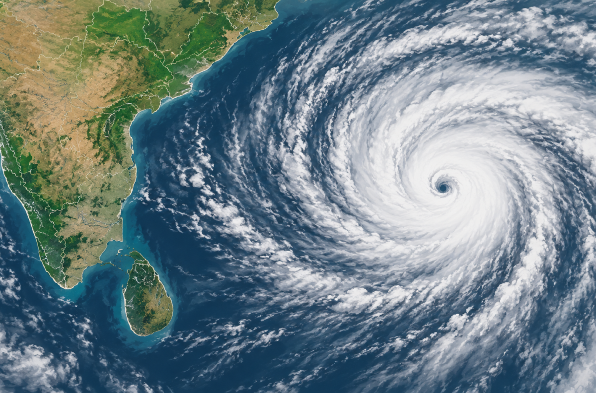
Illustration: a conceptual view of Cyclone Arnab’s forecast approach, not a real satellite image.
Cyclone Arnab has strengthened over the Bay of Bengal. India’s weather service says it could cross Andhra Pradesh on Wednesday morning. For residents, the key point is the two-day warning window. The forecast also warns of very heavy rain and a possible storm surge. The storm’s exact path and local effects may still change.
What the latest forecast says
The India Meteorological Department (IMD) said Arnab was over the east-central and adjoining west-central Bay of Bengal on Monday. Its coastal bulletin forecasts the storm moving northwest, strengthening first into a severe cyclonic storm and then a very severe one, before crossing the Andhra Pradesh–Yanam coast between Bapatla and Visakhapatnam by the forenoon of 28 October.
For the forecast crossing, the IMD gives maximum sustained winds of 115–125 km/h, with gusts up to 140 km/h. Those are forecast conditions, not a measurement of winds already affecting the coast. In addition, the IMD warns that a 1–1.5 metre storm surge above the normal tide could flood low-lying parts of the Andhra coast. It expects the highest surge near Kakinada and Yanam.

Cyclone Arnab: What Andhra Pradesh Should Watch
The Cyclone Arnab Andhra Pradesh forecast gives coastal authorities and households time to prepare. However, it does not guarantee the storm’s final route or strength. IMD district warnings flag extremely heavy rain in parts of Coastal Andhra Pradesh on Tuesday and Wednesday, as well as strong winds. Heavy rain can disrupt roads, power and communications far from the storm’s centre.
Meanwhile, district administrations have begun preparations. The New Indian Express reports that officials in northern Andhra have opened or planned control rooms, identified vulnerable coastal areas and prepared for possible evacuations. These steps do not amount to a blanket evacuation order for the whole coast.
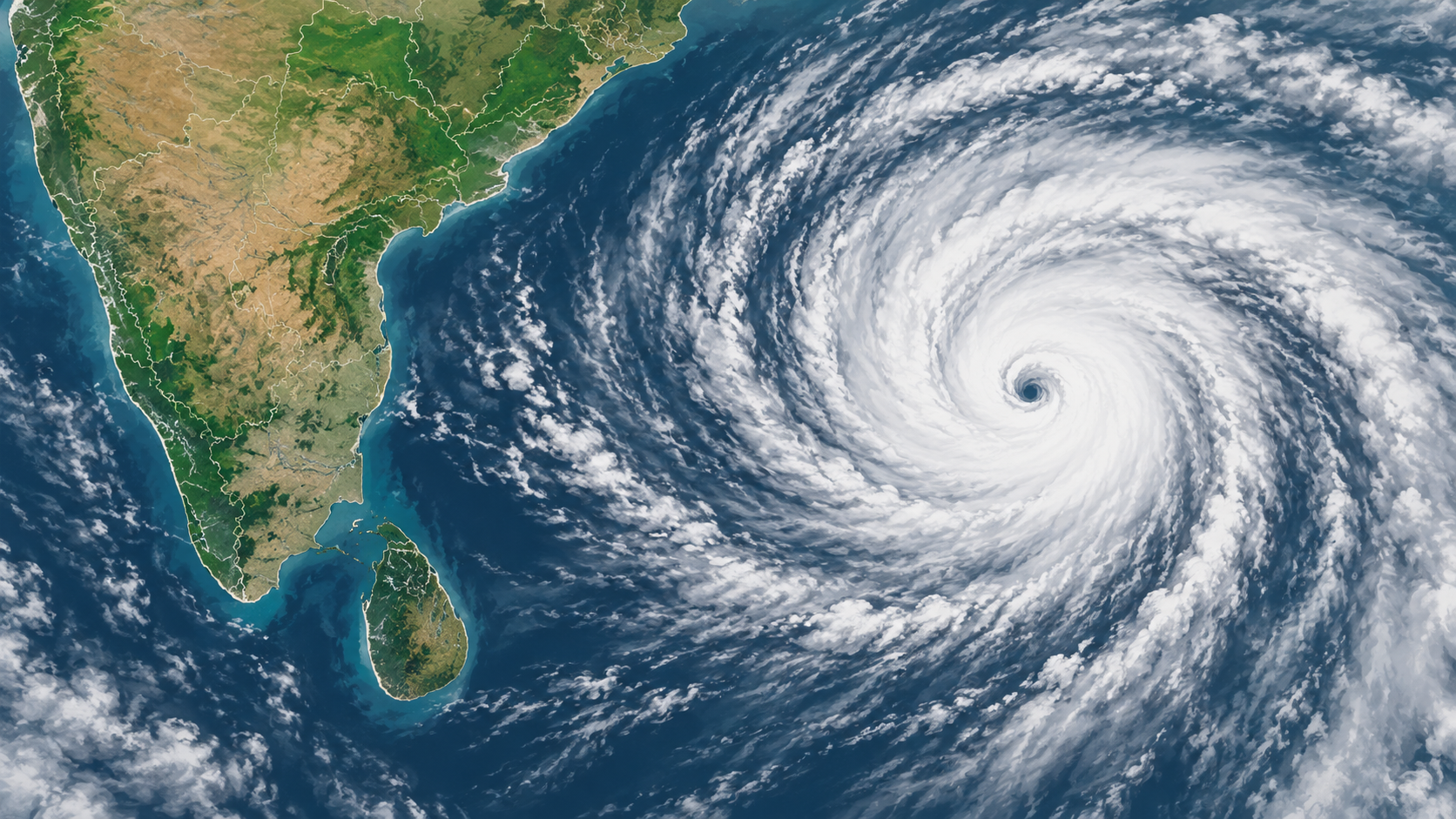
Illustration: a conceptual view of Arnab’s forecast approach, not a real satellite image.
What residents and travellers should watch
For now, people in coastal and low-lying districts should follow the latest IMD bulletin and instructions from their district administration. The IMD may revise its track and warning categories as the system moves. A national headline cannot tell residents whether a particular street, school or road is safe. Fishermen and small-boat operators should follow port and marine warnings, and anyone travelling should check local transport updates as heavy rain and winds approach.
Looking ahead, the key questions over the next 24–48 hours are whether the projected crossing corridor shifts, how quickly Arnab intensifies, and which districts receive evacuation or closure instructions. The IMD’s current forecast points to a serious threat, but local orders—not an illustrative map or an early forecast—should guide decisions.
For broader context on cyclone warnings and basic safety steps, see CrispNG’s cyclone-safety explainer.
Sources
- India Meteorological Department: sea-area bulletin for Cyclone Arnab
- India Meteorological Department: Visakhapatnam coastal weather bulletin
- India Meteorological Department: Coastal Andhra Pradesh warnings
- The New Indian Express: district preparedness and control rooms
- Bangladesh Sangbad Sangstha: Bangladesh marine warning as Arnab intensifies