Southern California storm warning: Up to 8 inches of rain, Mudslides, and flash floods expected—Are you prepared?
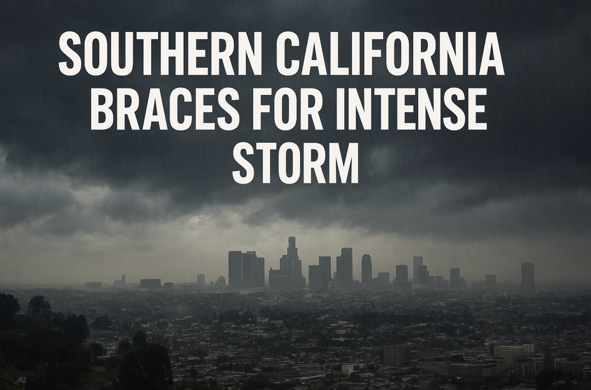
Southern California is preparing for a significant weather event as a powerful storm moves across the region, promising several days of heavy rain, strong winds, and potential hazards for residents. Meteorologists warn that this could be one of the more intense November storms in recent years, with some areas seeing rainfall amounts well above seasonal averages.
The National Weather Service (NWS) in Oxnard forecasts 2 to 5 inches of rain across much of the region, with coastal slopes and recently burned areas potentially receiving up to 8 inches. These conditions significantly increase the risk of debris flows, particularly in burn scar zones, where vegetation has yet to recover.
The storm is expected to first impact Santa Barbara Thursday night before gradually moving southward. Los Angeles is anticipated to experience the heaviest rainfall between Friday and Saturday night. L.A. County has issued evacuation warnings for residents near the Kenneth, Palisades, Eaton, and Canyon fire burn scars. Local authorities emphasize that rainfall rates exceeding half an inch per hour could trigger dangerous mudslides, and residents should be ready to evacuate if necessary. Emergency updates are available on the county’s official website.
In addition to mudslides, this storm carries a heightened risk of flash flooding, road closures, and even isolated tornadoes. Travelers departing from LAX may face flight delays due to high winds, particularly Friday and Saturday. The NWS has issued a flood watch for Santa Barbara and Ventura counties from midnight Friday through noon, followed by another watch for the broader region, including Los Angeles, from 4 a.m. to 10 p.m. Saturday.
To put the storm in context, downtown Los Angeles typically sees just 1.23 inches of rain in November, making the potential 5-inch totals unusually high for this time of year. The storm’s unpredictability stems from its classification as a “cutoff low,” a low-pressure system detached from the main jet stream, which complicates forecasting. Estimates may shift as the storm progresses, with a 10% chance rainfall in L.A. could fall below 2 inches.
Fire season assessments are also in flux. NWS Oxnard usually considers fire season concluded after a widespread 3 to 4 inches of rain, and this storm could potentially meet that threshold by the weekend. However, full evaluations will follow the storm’s conclusion.
Residents are urged to take safety precautions seriously. Signing up for emergency alerts, such as Alert L.A. County, is crucial to receiving timely evacuation notices. Monitoring local agencies’ social media accounts, particularly X (formerly Twitter), can provide real-time updates.
Drivers should exercise caution during heavy rains: reduce speed, maintain extra distance, avoid standing water, and ensure vehicles are properly maintained. High winds require additional vigilance—watch for traffic lights out, secure flashlights and battery-operated radios, and exercise extreme caution near downed power lines. Never attempt to use outdoor equipment indoors, and follow proper generator safety protocols to prevent carbon monoxide poisoning and electrical hazards.
Emergency non-emergency contact numbers for reporting hazards include:
-
L.A. City: Dial 311 (flooded roads/trees), (800) DIAL-DWP (downed power lines)
-
L.A. County: (800) 675-HELP
-
Ventura County: (805) 384-1500
-
Orange County: (714) 955-0200
-
Riverside County: AlertRivCo
Sandbags are available at local fire stations across L.A. County. Residents are encouraged to check on neighbors, secure food and supplies, and follow all evacuation instructions to ensure safety.
This storm remains a developing story. Updates will be provided as new information becomes available from meteorologists and local authorities.
FAQ
Q: How much rain is expected in Southern California?
A: Rainfall will vary by location, from 2 to 5 inches in most areas, with coastal slopes and burn scar regions possibly seeing up to 8 inches.
Q: Which areas are under evacuation warnings?
A: L.A. County has issued warnings for the Kenneth, Palisades, Eaton, and Canyon fire burn scar areas.
Q: Are flash floods and tornadoes possible?
A: Yes. Flash floods, road closures, and small tornadoes are possible as the storm progresses.
Q: How can I receive emergency alerts?
A: Sign up for services such as Alert L.A. County or follow local government updates on social media.
Q: What should I do if there’s a downed power line?
A: Stay inside your vehicle if it’s near the line, call 911, and exit safely away from the line if necessary.