

Nigeria’s 2026 Flood Toll: What 245 Deaths and 215,000 Displaced Reveal

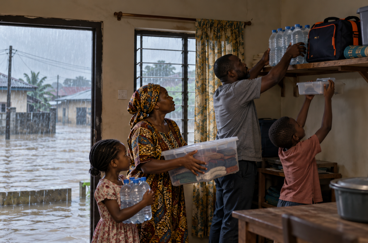
Illustrative image: prepare essential supplies and keep them above floodwater.
Nigeria’s 2026 flood toll has reached 245 deaths and 214,997 people displaced, according to figures attributed to the National Emergency Management Agency (NEMA) as of 20 October. The agency’s dashboard also recorded 673,350 people affected across 134 local government areas in 28 states. Those figures are serious, but they are a dated snapshot—not a final count or a forecast of what will happen next.
The most useful question is what the totals reveal about the scale of need, and what they leave hidden about individual communities. NEMA presented the figures at a national emergency coordination meeting in Abuja, according to a report on its statement.
Nigeria floods 2026: how the toll compares with 2024
A late-October comparison gives the numbers perspective. In its national situation report dated 22 October 2024, NEMA recorded 1,346,413 people affected, 729,310 displaced and 320 deaths. The latest 2026 snapshot therefore shows about half as many people affected and around three-quarters of that 2024 death toll, while the recorded displacement is lower.
This is a comparison between two snapshots, not a like-for-like verdict on government performance or a prediction of the final 2026 outcome. Reporting dates, affected areas and assessment coverage can change the totals. NEMA’s 2024 report is available in its official situation report.
Why a national total cannot show every local emergency
The national count combines very different situations. In Nasarawa State, a separate report on 20 October said flooding had submerged more than 18 communities in Doma Local Government Area. The state information commissioner confirmed two deaths. An earlier state emergency agency estimate put displacement at 4,000 to 5,000 people, while officials said further assessments were underway. That local report shows why totals can lag behind events on the ground.
Risk forecasts provide another kind of information. NEMA says NIHSA’s 2026 outlook identified 14,118 communities in 266 LGAs across 33 states and the Federal Capital Territory as high flood risk. These are forecast risk locations, not places confirmed to be flooded. A risk map can help officials prioritise preparation; it cannot tell residents whether a particular street is safe today.
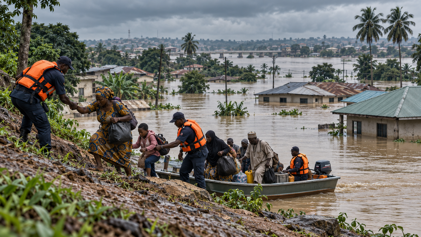
What the figures mean for people in flood-prone areas
NEMA advises people who may face flooding to monitor official alerts, move to higher ground when flooding is likely and avoid walking or driving through floodwater. Fast-moving water can sweep people and vehicles away, while water may conceal open drains or damaged roads. Follow instructions from your state emergency management agency and contact emergency services if you are in immediate danger.
The agency’s current flood guidance also recommends preparing to evacuate, moving essential items upstairs where possible and disconnecting electrical appliances before leaving if it is safe to do so. Read NEMA’s flood safety advice. For a broader view of this year’s risk outlook and preparedness plans, see NEMA’s 2026 flood alert briefing.
NEMA says it is using the emergency coordination forum to review ongoing interventions and identify gaps. The latest numbers underline the pressure on response teams, but they do not show how many people still need shelter, clean water or medical support in each location. Those details depend on continuing state-level assessments and timely local reporting.
Sources and reporting
- Report on NEMA’s 20 October 2026 flood figures
- Premium Times: flooding in Nasarawa’s Doma LGA
- NEMA: 2024 flood situation report, as of 22 October
- NEMA: 2026 flood alerts and risk outlook
- NEMA: flood safety guidance