South Africans to face severe weather this week — here’s why and areas affected
Weekend weather in South Africa: Cold mornings, mild sunshine ahead. Photo: Sandiso Phaliso
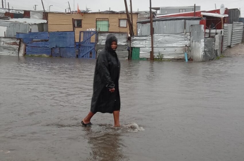
South Africans are set to endure one of the most turbulent stretches of winter weather this season as a series of powerful cold fronts sweep across the country, bringing gale-force winds, disruptive sea swells, heavy rainfall, and snow in high-altitude regions.
The South African Weather Service (SAWS) has issued multiple Yellow Level 1 warnings, signaling potentially hazardous conditions throughout the week. These alerts follow forecasts of widespread weather disruptions, particularly along coastal regions and interior highlands.
The first cold front made landfall on the south-western coast early Monday, August 4, lashing the Western Cape with strong winds and high seas. Swells of up to 5.5 meters have been recorded, prompting officials to warn of dangerous conditions at sea and along beaches.
A second front is expected to follow swiftly by Monday evening, compounding the turbulent weather along the coast from Saldanha Bay to Cape Agulhas. According to SAWS, these conditions pose significant risks to those engaging in coastal activities.
“These conditions will result in disruptions to beachfront activities such as people being swept off rocks,” SAWS said in its advisory. “Coastal users and anglers on low-lying rocks are at risk of being caught off guard by high-energy waves and swept off to sea.”
By Tuesday, August 5, the disruptive swells will extend eastward from Alexander Bay to Plettenberg Bay, placing small boat operators and beachgoers on high alert. Meanwhile, interior regions will begin to feel the full force of the cold front.
Strong interior winds are expected across the Northern Cape and Central Karoo, with sustained wind speeds reaching 50 km/h and gusts up to 70 km/h. The SAWS warns that these winds may lead to dust storms, reduced visibility, and dangerous driving conditions, particularly for high-sided vehicles.
“Impacts include localised damage to informal settlements, reduced visibility due to dust, and the risk of localised runaway fires,” the agency noted.
Rainfall is also set to intensify. Scattered to widespread showers are predicted across the Western Cape, southern parts of the Eastern Cape, and into the Northern Cape and Free State. Towns like Worcester and Beaufort West face up to a 60% chance of rain, while other areas, including Springbok, Graaff-Reinet, and East London, can expect lighter showers.
High-altitude areas may also experience thunderstorms, with residents warned to brace for biting cold and intensified southerly winds that will make already low temperatures feel even colder.
By Wednesday, August 6, a third cold front is expected to drive deeper into the interior, bringing another round of widespread rain and snow to mountainous regions. The Eastern Cape interior, particularly around Mthatha, Aliwal North, and Barkly East, is forecast to receive significant snowfall.
SAWS has issued a 60% probability of snow in higher areas of the Eastern Cape, while elevated regions in the Free State and KwaZulu-Natal could see light snow or rainfall at a 30% chance.
As midweek approaches, the plummeting temperatures are expected to dominate much of South Africa’s central and southern interior. The cold snap will likely trigger travel delays, power outages, and hazardous road conditions—especially in rural or mountainous communities.
Officials are urging residents to remain cautious and avoid non-essential travel during periods of peak weather activity. South Africans are also advised to monitor official updates and alerts to stay safe as the country rides out this week of intense winter weather.