South Africa weather forecast: What to expect across provinces tomorrow
Weekend weather in South Africa: Cold mornings, mild sunshine ahead. Photo: Sandiso Phaliso
As South Africans prepare for a new week, the weather forecast for tomorrow brings a mix of winter calm and coastal turbulence. While inland regions like Johannesburg and Pretoria are expected to enjoy crisp, sunny skies after a frosty start, coastal and mountainous areas are in for a more dramatic turn.
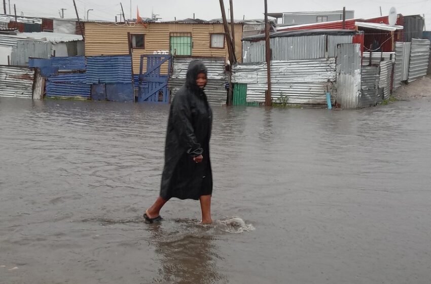
Parts of the Western Cape are set to experience light showers and damaging waves, while snowfall and strong winds may affect high-altitude regions in the Eastern Cape and Lesotho border areas.
With weather alerts in place for several provinces, tomorrow’s forecast underscores the need for careful planning—whether you’re commuting, working outdoors, or heading out on holiday. Here’s a comprehensive breakdown of what to expect across the country.
Johannesburg (Gauteng Province)
-
Conditions: Expected to be clear and dry throughout the day, with no significant precipitation.
-
Temperatures: Morning lows between 1 °C–4 °C, rising to daytime highs of 10 °C–12 °C.
-
Winds & Humidity: Light winds averaging 15–17 km/h from the south, increasing midday; humidity sits around 92% in the early hours, dropping to about 25–30% by afternoon.
-
UV & Visibility: UV levels are negligible in the morning; visibility remains excellent under clear skies.
-
Takeaway: Frosty start, but a sunny, crisp, and comfortable day—ideal for outdoor plans with a warm morning layer.
Cape Town (Western Cape Province)
-
Conditions: Partly cloudy skies expected, with isolated showers or drizzle, particularly in the early morning and evening.
-
Temperatures: Lows of 7 °C–8 °C, with highs around 14 °C–15 °C—cool and typical for a winter day.
-
Wind: Fresh southwesterly winds, blowing at 10–15 km/h, stronger along the coast.
-
Rain Chances: 60–100% chance of patchy rain or drizzle in the early hours; diminishing to near-zero by late morning.
-
Advisories: Potential for damaging waves along the south coast from Cape Agulhas to Plettenberg Bay—small vessels should take caution.
-
Takeaway: Cool, breezy, and damp by the coast—carry a light rain jacket and be cautious near shorelines.
National Outlook & Alerts
-
Western & Southern Cape: Expect rain showers, coastal damaging winds, and rough sea waves—with South African Weather Service yellow Level 2 alerts in place.
-
Eastern & Northern Cape (Drakensberg/Eastern Highlands): Reports of disruptive snow and strong winds, especially in mountain passes.
-
Interior Highveld Regions (Gauteng, Mpumalanga, Limpopo): Cool to cold temperatures, with fog or frost patches early on; overall dry and fine weather expected.
What This Means for You
-
Johannesburg/Highveld: Cold, clear mornings—layer up with jackets or scarves, but enjoy a sunny and pleasant daytime.
-
Coast/Western Cape: Expect a damp day near the ocean—carry waterproof gear, check wind advisories, and take care near the sea.
-
Mountainous Eastern Cape: If traveling through higher altitudes, prepare for snow, icy roads, and possible disruptions.
-
All Regions: Monitor alerts for coastal safety, especially for small craft and beachgoers.
Top Takeaways
-
Clear and crisp in Johannesburg—no rain, just morning chill.
-
Cape Town gets a cool, breezy day with morning drizzle, easing by midday.
-
Stormy coastal conditions in the Western and Eastern Capes—avoid unnecessary marine activities.
-
Snow in the Drakensberg region may disrupt mountain travel.