South Africa weather alert: Thunderstorms and flood risks expected tomorrow
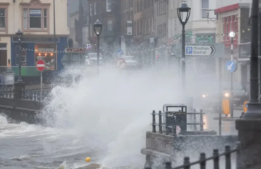
Storm Floris is expected to bring strong winds and heavy rain to the UK on Monday, with a yellow weather warning already issued for the northern half of the country. Photo credit: Reuters
South Africans are being urged to prepare for potentially severe weather as forecasts indicate thunderstorms, heavy rain, and localized flooding in many regions tomorrow, 2 December 2025.
The South African Weather Service (SAWS) has issued multiple warnings covering central and eastern provinces, including Gauteng, Mpumalanga, and Limpopo, where residents may experience unstable skies and scattered afternoon storms. In addition to rainfall, some areas could face hail and strong winds, increasing risks to property, transport, and daily activities.
Low-lying areas and regions prone to flooding are expected to be particularly vulnerable. Residents in these zones should exercise caution and avoid driving through flooded roads or underpasses. Conversely, the Northern and Western Cape are likely to experience hot and dry conditions, raising fire risk concerns and highlighting the stark contrast in South Africa’s climate patterns. Authorities are emphasizing the need for vigilance, as storms can develop quickly with little warning.
The expected weather disruptions may affect travel, outdoor activities, and even infrastructure. Homeowners are advised to secure loose objects, reinforce windows and roofs where possible, and remain indoors during peak storm hours. Drivers should reduce speed and avoid waterlogged roads to prevent accidents. For those living in urban or informal settlements, where drainage systems may be inadequate, the risk of flooding is even higher, making preparation and timely response essential.
This severe weather outlook is part of a broader pattern for South Africa’s upcoming summer season. Forecasts suggest above-average rainfall in many eastern regions, driven in part by a possible mild La Niña event. While increased rain can benefit agriculture and water reserves, it also heightens the risk of floods, infrastructure damage, and disruptions to daily life. Experts stress the importance of effective early-warning systems and robust urban planning to protect residents in vulnerable areas.
As the storms approach, SAWS encourages citizens to stay informed via official updates and media channels. Emergency services and local authorities are preparing for rapid response in case of flooding or other weather-related incidents. Residents should monitor forecasts continuously, particularly if they live in flood-prone or low-lying areas, and take practical steps to ensure their safety and the protection of their property.
Weather conditions like these illustrate the growing challenges posed by South Africa’s climate variability. While rainfall supports natural resources and agriculture, sudden storms, hail, and high winds can threaten lives and disrupt normal routines. By following official guidance and taking preventative measures, communities can reduce the impact of extreme weather events.
Tomorrow’s weather serves as a reminder of the importance of preparedness, especially during the early summer months when conditions can change rapidly. South Africans are encouraged to remain cautious, stay updated on warnings, and prioritize safety as heavy rains and thunderstorms sweep across the central and eastern regions.
FAQ
Q: Which regions are most affected by tomorrow’s weather?
A: Central and eastern provinces, including Gauteng, Mpumalanga, and Limpopo, are under severe storm alerts.
Q: What precautions should residents take?
A: Avoid flood-prone areas, secure property, monitor forecasts, and drive cautiously if traveling.
Q: Is this part of a larger weather trend?
A: Yes. Seasonal forecasts indicate a wetter-than-average summer in eastern regions, partly due to a mild La Niña effect.