Heavy snowfall alert in Quebec: Up to 25 cm expected as winter weather returns this weekend
snowfall
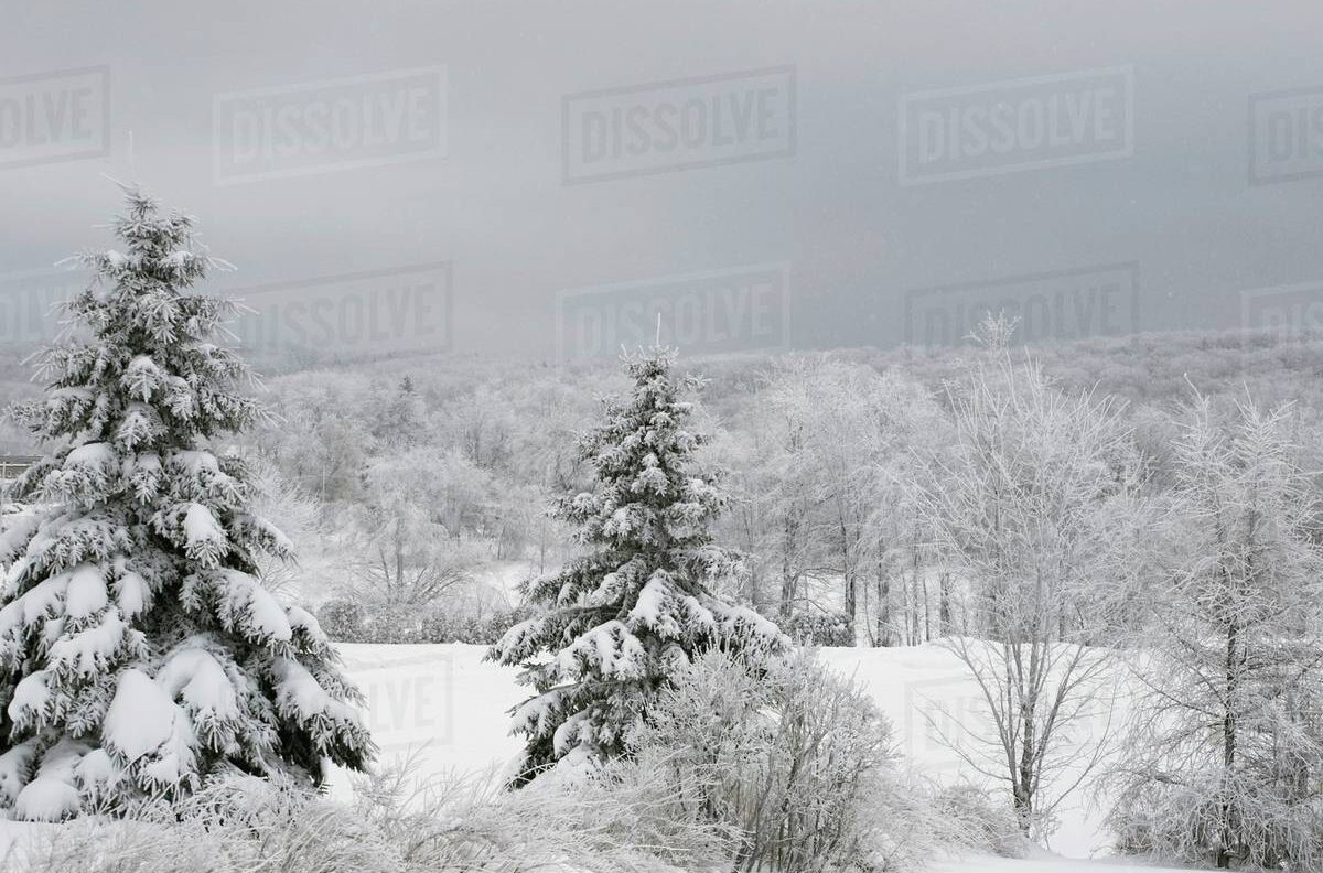
Winter is officially making its entrance in Quebec, as Environment Canada issues a special weather statement warning of the province’s first significant snowfall of the season. The storm system, moving in from the Great Lakes, is expected to begin Sunday afternoon and continue into Monday, bringing a mix of snow and rain depending on the region.
Meteorologist Simon Legault from Environment Canada confirmed that the heaviest snowfall is forecast for areas north of Quebec City, where totals could reach 15 to 25 centimeters. He cautioned that many drivers have yet to install their winter tires, which could lead to hazardous road conditions and longer travel times across several highways.
Snowfall Forecast by Region
According to Environment Canada’s bulletin released Saturday morning, the Greater Montreal area, including communities stretching along the St. Lawrence River up to Rimouski, could see around 10 centimeters of snow beginning Sunday midday through early Monday.
However, the agency notes that depending on the storm’s path, southern regions such as Bas-Saint-Laurent and Gaspésie may experience mixed precipitation, including rain or freezing rain, which could reduce total snow accumulation.
Farther north, areas covering Laurentides, Lanaudière, Mauricie, and Les Escoumins are likely to experience heavier snowfall, with up to 25 centimeters expected between Sunday evening and Monday morning.
For drivers in these areas, Legault warns that visibility may be reduced, particularly along the corridor between Trois-Rivières and Quebec City, though most regions should maintain fair visibility throughout the storm.
Traffic and Safety Concerns
The timing of this storm could catch some motorists off guard, as Quebec’s mandatory deadline to equip vehicles with winter tires is December 1—still three weeks away. Authorities are urging drivers to take precautions, reduce speed, and avoid unnecessary travel during the worst of the snowfall.
Environment Canada stressed that snow-covered and slippery roads are likely, especially overnight Sunday into Monday morning when temperatures dip. Commuters heading to work or school should plan for potential delays and challenging driving conditions.
Early Signs of Winter
Some regions, including Saguenay–Lac-Saint-Jean and Abitibi-Témiscamingue, have already seen their first dustings of snow earlier this week. But this upcoming system marks the first widespread winter event of the season for southern Quebec — signaling that the province’s long, cold months are about to begin.
The upcoming storm serves as a reminder to prepare vehicles, homes, and travel plans for the changing season. From Montreal to Quebec City, the blanket of white may be picturesque — but it’s also a call for caution.
FAQs
1. When will the snowfall start in Quebec?
The snow is expected to begin Sunday afternoon and last through Monday morning, depending on the region.
2. Which areas will be most affected?
The heaviest snowfall is predicted for Laurentides, Lanaudière, and northern regions such as Mauricie and Les Escoumins.
3. Will Montreal get a lot of snow?
Montreal could see up to 10 cm of accumulation, with possible periods of rain or mixed precipitation.
4. Why is visibility a concern?
Visibility may be briefly reduced between Trois-Rivières and Quebec City due to snow intensity and wind patterns.
5. What should drivers do to stay safe?
Install winter tires as soon as possible, drive cautiously, and check weather and road updates before traveling.