Hurricane Erin explodes into rare category 5 storm, threatens US East coast beaches with dangerous surf
Developing tropical storm near Cabo Verde could become Hurricane Erin this week.
Hurricane Erin has shocked forecasters with a burst of extraordinary strength in the Atlantic, reaching the highest classification on the hurricane scale after undergoing one of the fastest intensification periods ever recorded.
The storm was only a Category 1 with winds of 75 mph on Friday morning, but by late Saturday, its sustained winds had nearly doubled to 160 mph. That leap of almost 85 mph in just over a day places Erin among the most rapidly strengthening hurricanes in Atlantic history and possibly the fastest to do so before the month of September.
A Growing Trend in a Warming Climate
Meteorologists describe “rapid intensification” as a jump of at least 35 mph in wind speeds within 24 hours. While this phenomenon used to be rare and more common later in the hurricane season, climate change has made ocean waters hotter and the atmosphere more unstable, creating perfect conditions for storms to gain power at alarming speeds. Erin is now being viewed as another stark example of how global warming is reshaping hurricane behavior.
Erin Joins a Rare but Growing Club
Only 43 hurricanes in the Atlantic basin have ever achieved Category 5 strength, making Erin’s arrival in that group significant. Even more remarkable is the recent trend: 11 of those Category 5s have occurred since 2016, including last year’s Beryl and Milton. That makes this the fourth consecutive Atlantic hurricane season to produce a storm of such strength.
What sets Erin apart is the timing. Peak season usually runs through September and October, yet Erin is one of the strongest storms ever observed so early in August — and well outside the Gulf of Mexico, where intense hurricanes are more typical.
Where Erin is Headed Next
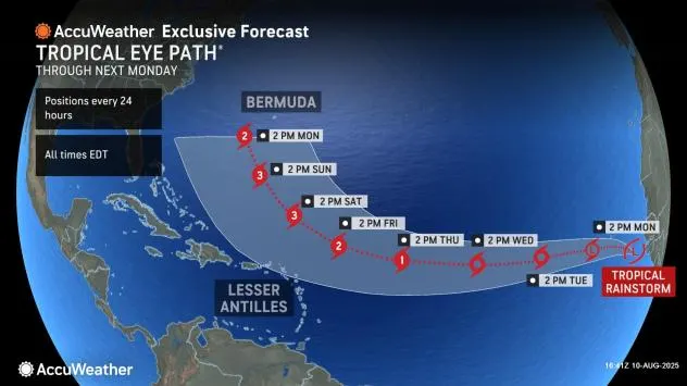
Despite its power, Erin is not expected to strike land directly. Current forecasts show it tracking north of Puerto Rico and the Virgin Islands before turning northeast into the open Atlantic between Bermuda and the U.S. East Coast next week. However, its size is expected to double or even triple, making it a large and dangerous system even at a distance.
The National Hurricane Center has warned that Erin will generate life-threatening surf and rip currents along the beaches of the Bahamas, the U.S. East Coast, and parts of Atlantic Canada. Tropical storm alerts are in place for some northeastern Caribbean islands, as outer bands may still bring heavy rain and gusty winds.
A Reminder of Rising Risks
Erin’s explosive growth underscores what scientists have been warning: extreme storms are becoming more frequent and more powerful as the oceans warm due to fossil fuel-driven climate change. Even as Erin swirls harmlessly away from land, the risks it represents — both for beachgoers along the East Coast and for the long-term stability of coastal communities — remain clear.