Blizzard warning looms over NYC: Up to 12 inches of snow and 50 MPH winds in powerful Nor’easter
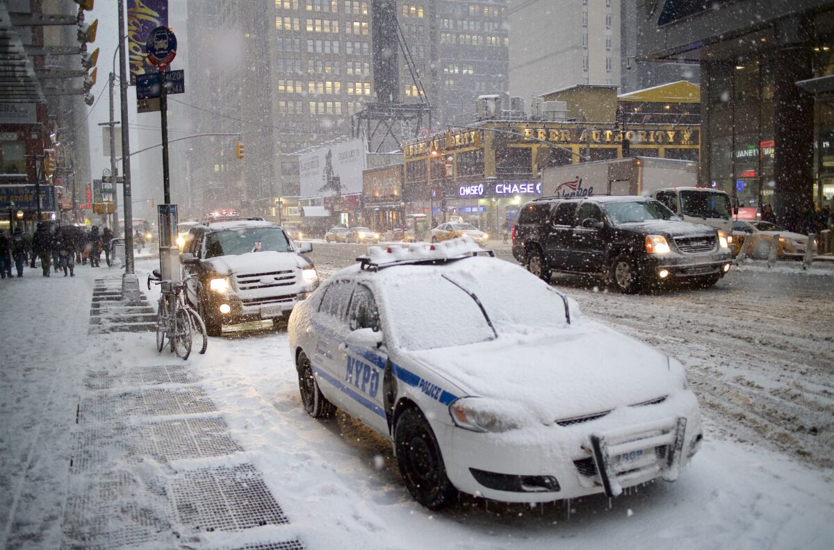
Heavy snow and high winds threaten NYC this weekend. Image Credit: Wikimedia
A developing winter storm could bring blizzard-like conditions to New York City and the surrounding tri-state area this weekend, with forecasters warning of 5 to 12 inches of snow, powerful wind gusts and dangerous travel conditions.
According to meteorologists at NBC New York, the storm is shaping up to be a classic nor’easter, with coastal impacts expected to intensify Sunday night into early Monday.
Winter storm watches have been issued for New York City and much of the region as forecast models trend toward a more impactful scenario.
How Much Snow Is Expected in NYC?
Latest projections show:
- 5 to 12 inches of snow possible across New York City’s five boroughs
- Central New Jersey and Nassau County could approach or exceed a foot
- Hudson Valley, North Jersey and Connecticut may see 5–8 inches
- Eastern Long Island and parts of the Jersey Shore could surpass 12 inches
Meteorologists note that snowfall totals could shift depending on the exact track of the low-pressure system. Earlier models placed the storm farther offshore, but updated guidance now shows the system hugging the coastline more closely, increasing snow potential for the metro area.
Strong Winds Could Create Blizzard-Like Conditions
Beyond snowfall totals, forecasters are closely watching wind gusts between 30 and 50 mph.
Those winds could cause:
- Blowing and drifting snow
- Reduced visibility
- Near-whiteout conditions at times
- Hazardous road travel
Even after snowfall tapers early Monday, gusty winds may continue to create travel disruptions during the morning commute.
When Will the Storm Hit NYC?
The storm system originates from low pressure currently moving across the western United States. It is expected to track eastward and strengthen as it moves off the North Carolina coast before entering the Atlantic.
Here’s the expected timeline:
Sunday Afternoon:
Light snow begins across the tri-state region. Temperatures may hover slightly above freezing at first, limiting early accumulations.
Sunday Evening and Overnight:
The heaviest snowfall develops after sunset. This is when accumulation rates could increase significantly, especially near the coast.
Monday Morning:
Snow begins tapering off, but strong winds and blowing snow will likely make the commute extremely difficult.
Monday Afternoon and Beyond: Conditions gradually improve as the system pulls away. Sunshine and drier air are expected to return Tuesday.
READ ALSO
Snow in Florida? Rare winter weather stuns the Sunshine State as freezing temps linger
Why Forecast Models Changed
Earlier in the week, long-range models suggested the storm might remain offshore, limiting snowfall in New York City.
However, updated data shows the storm’s path shifting westward. The American forecast model had previously indicated heavier snow potential, and now the European model appears to align more closely with that scenario.
Forecasters caution that while confidence has increased in measurable snow, final totals will depend on slight shifts in storm track and intensity.
Travel Disruptions and Safety Concerns
Officials are urging residents to prepare for:
- Slippery roads Sunday night
- Dangerous visibility conditions
- Potential flight delays at area airports
- School schedule adjustments if snowfall exceeds expectations
Sunday evening travel is expected to be particularly hazardous, with snow intensifying and wind gusts increasing simultaneously.
Drivers are advised to avoid unnecessary travel during peak storm hours.
What Is a Blizzard Warning?
A blizzard warning is issued when sustained winds or frequent gusts of 35 mph or higher combine with falling or blowing snow to reduce visibility to a quarter mile or less for at least three hours.
While official blizzard criteria depend on measured visibility and wind thresholds, this storm has the potential to produce blizzard-like impacts, particularly along coastal areas.
FAQ: NYC Blizzard Warning and Nor’easter
Is there a blizzard warning for NYC?
Winter storm watches have been issued, and forecasters warn that blizzard-like conditions are possible due to heavy snow and strong winds.
How much snow will New York City get?
Current projections estimate between 5 and 12 inches, though totals could vary depending on the storm’s final track.
When will the snow start in NYC?
Light snow is expected to begin Sunday afternoon, with heavier snowfall developing Sunday night.
Will the Monday commute be affected?
Yes. Snow may taper off by early Monday morning, but blowing snow and strong winds could make roads hazardous.
What areas will see the most snow?
Eastern Long Island and parts of coastal New Jersey could see more than a foot of snow if the storm intensifies near the coast.
What is a nor’easter?
A nor’easter is a powerful coastal storm that typically brings heavy precipitation and strong northeast winds to the East Coast.
Could flights be canceled?
Strong winds and heavy snowfall may cause airport delays or cancellations across the tri-state area.
When will conditions improve?
The storm is expected to move away Monday afternoon, with drier and calmer weather returning Tuesday.